| Back to search results » | Back to search page » |
|
Griffith Island
Other NameRabbit/Goat/Griffith Island LocationPORT FAIRY VIC 3284 - Property No L10276
File NumberL10276LevelRegional |
|


Statement of Significance
What is significant?
Griffith Island has played an important part in the historical development of Port Fairy commencing with a
whaling settlement (1833), followed by grazing and then designation as a public park and recreation zone. The
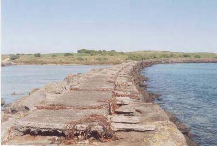
original three islands have been consolidated by man-made breakwaters, walls and spoil deposition, and have a history of human intrusion which changed the island as successive generations sought to shape the land for their purposes. The landward (north) boundary is formed by the River Moyne, and extensive training walls were constructed between 1869 and c.1920 in an effort to achieve a self-scouring effect and facilitate navigation.
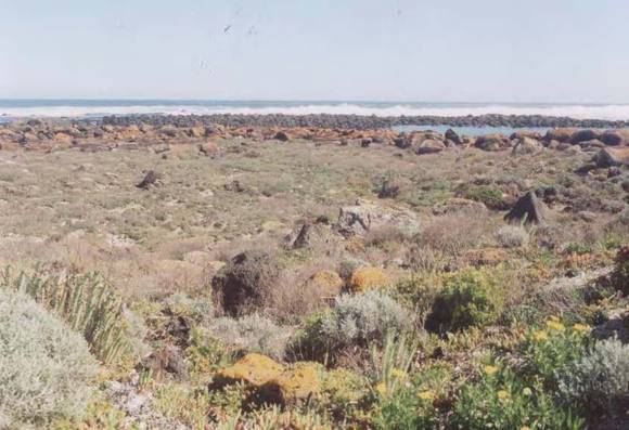
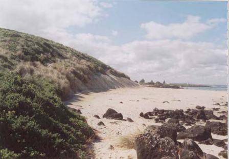
Griffith Island is an unusual landform as an isolated basalt outcrop, overlain with calcareous sand. It lies at the extremity of the Mount Rouse lava flow of 300,000 years ago, and it has been suggested that the South West Passage, which separates it from the mainland, is the remains of a collapsed lava tunnel (Eric C.F. Bird, The Coast of Victoria,Melbourne University Press, 1993, p.43).
The seaward perimeter includes a number of small basalt ringed bays and lagoons. The island is the site of a major short-tailed shearwater (mutton-bird) breeding colony.
How is it significant?
Griffith Island is significant for historic and scientific reasons at a State level.
Why is it significant?
Griffith Island is significant as an example of a coastal landform which has a history of persistent human interference or use since the beginning of European settlement in Victoria, in the expectation that the construction works would facilitate human use of the site. There is also some, if limited, evidence of earlier aboriginal occupation.
Group
Landscape - Cultural
Category
Other - Landscape - Cultural