| Back to search results » | Back to search page » |
|
Mt. Eliza - South East Face
LocationMOUNT ELIZA VIC 3930 - Property No L10065
File NumberL10065LevelLocal |
|
Statement of Significance
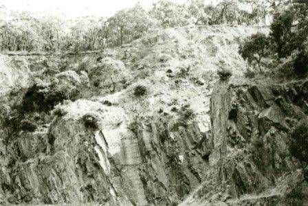
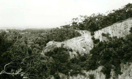
The Mount Eliza landform rises steeply from the surrounding plains on its south-eastern face. The landform itself contains a mixture of land uses with areas to the east and west being used for rural and residential purposes. Much of the south-eastern face is included within the Moorooduc Quarry Reserve which is owned and managed by the City of Frankston and the Department of Crown Lands. Much of the remainder of the forested section of the landform is committed to residential development. Some of this development, such as that along Alison Road, is on larger than average blocks, however, a substantial subdivision, the Mount Eliza Summit Estate, consists of very small residential blocks (approximately 1/3 of an acre). This subdivision was designed and approved by Mornington Council in the 1920s and much of the subdivision is currently undeveloped.
Group
Landscape - Cultural
Category
Other - Landscape - Cultural


