| Back to search results » | Back to search page » |
|
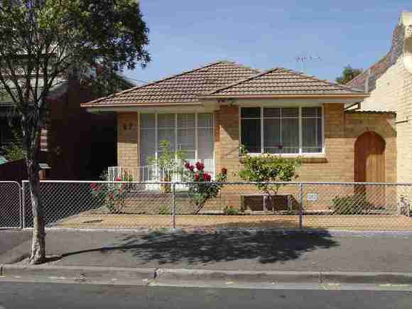
67 Yarra Street
Other NameHouse Location67 Yarra Street, ABBOTSFORD VIC 3067 - Property No 111605 LevelIncl in HO area not sig |
|


Statement of Significance
Precinct statement of significance Component streets include: Abbotsford Street, Charles Street, Eddy Court, Gipps Street, Hoddle Street, Hunter Street, Langridge Street, Little Charles Street, Marine Parade, Mollison Street, Nicholson Street, Park Street, Raphael Street, St Phillips Street, Stanton Street, Studley Street, Vere Street, Yarra Street, Statement of Significance What is significant? The Charles Street Heritage Overlay Area (part of the Collingwood Flat) (23), was subdivided in 1853 from the properties of R Henry Way and (24 )Sir Charles Nicholson. (25) An important civic cluster within the Heritage Overlay Area is the Collingwood Town Hall in Hoddle Street (1888) comprising municipal offices, a court house, post office, mechanics institute and a library. (26) When complete it was described as... one of the largest and handsomest near Melbourne ... (27). Other key buildings within the cluster are the bluestone St Phillip's Church of England rectory and the former Church of Christ Tabernacle in Stanton Street (later Collingwood library). An important element in the area is the railway from Princes Bridge to Clifton Hill. It opened in 1901 on a continuous elevated embankment which eliminated the need for level crossings. The access provided by the railway boosted the residential development of the surrounding area in the Edwardian-era. Mature street trees are a feature of this area, in the otherwise near treeless Collingwood urban landscape. Melbourne and Metropolitan Board of Works (MMBW) detail plans from c1900 show street trees along the gutter line of Stanton Street, Nicholson Street near the Denton Hat Mills and north of Gipps Street, and in Langridge St west from Nicholson St. No trees are shown in Charles St. Main development era The main development period evident in the heritage overlay is that of the Victorian and Edwardian-period, with a contribution from some well preserved inter-war buildings and individually significant places of all eras. Contributory elements The Charles Street Heritage Overlay Area includes contributory buildings, mainly (but not exclusively) as small attached and detached Victorian and Edwardian-era one-storey houses having typically: . Expressed steeply gabled or hipped roofs, with some facade parapets; . One storey wall heights; . Weatherboard, face brick (red, bichrome and polychrome), or stucco walls; . Corrugated iron roof cladding, some Marseilles pattern terra-cotta tiles (Edwardian-era), with some slate roofing; . Chimneys of either stucco finish (with moulded caps) or of matching face brickwork with corbelled capping courses (red brick in the Edwardian-era); . Post-supported verandah elements facing the street; . Less than 40% of the street wall face comprised with openings such as windows and doors; and . Front gardens, originally bordered by timber picket front fences of around 1m height; also . Corner shops and residences with display windows and zero boundary setbacks. And . Well preserved, typically one-storey residential and industrial buildings plus street tree plantings; . Public infrastructure, expressive of the Victorian and Edwardian-eras such as stone pitched road paving, kerbs and channels, and asphalt paved footpaths; . Public building groups such as the Collingwood Town Hall group. How is it significant? HO313 Charles Street Heritage Overlay Area, Abbotsford is aesthetically and historically significant to the City of Yarra (National Estate Register[NER] Criteria E1, A4) Why is it significant? The Charles Street Heritage Overlay Area is significant: . As a good representation of modest workers' housing, being substantially intact timber and masonry buildings from the late 19th and early 20th century, and as one of the more intact early residential precincts in Abbotsford. . For some well preserved industrial and commercial buildings (i.e. in Gipps, Yarra and Studley Streets), dating predominantly from the late 19th and early 20th centuries, but with a contribution from the inter-war era; . For the core of civic buildings and parklands (public health, community gathering places, civic, and religious examples) of individual significance, including the landmark Collingwood Town Hall, which is one of the most important civic buildings in the City of Yarra; . For its early street, lane and allotment layouts, together with original bluestone infrastructure such as kerbs and guttering, providing an appropriate setting for the buildings, along with the narrow open drain between Nicholson and Charles Streets as testimony to a legacy of frequent floods and pollution which influenced the area's development; and . For the mature street trees in Gipps, Langridge, Nicholson and Stanton Streets, and mature trees in parks, in particular, the Gahan Reserve, as evocative of the area's significant development era. References 23 flat land in Collingwood generally between the line of Alexandra Avenue on the north, Church Street and the Yarra River on the east, Victoria Street on the south and Smith Street on the west (see map National Library of Australia. National Library of Australia (ANL)3790435 MAP RM 1643). 24 City of Collingwood Engineer's Office. Lithograph No. 0003 25 State Library of Victoria. Vale Collection 26 G Hibbins, A Short History of Collingwood, Collingwood 1997. p 25. 27 Garran, A (ed.), Australia: The First Hundred Years, Illustrated. Sydney 1974. p 244. (Facsimile edition of Picturesque Atlas of Australasia, 2 vols. 1888)
Group
Residential buildings (private)
Category
House