| Back to search results » | Back to search page » |
|
Point Nepean
LocationPORTSEA VIC 3944 - Property No L10072
File NumberL10072LevelNational |
|


Statement of Significance
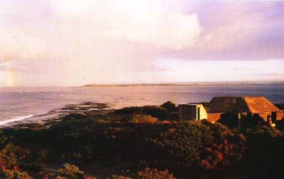
Fine seascapes of the Bass Strait coastline, across The Heads to Point Lonsdale and Queenscliff, and around the sweep of Port Phillip Bay. Important historical associations. The Nepean Peninsula is composed of dune limestone, the surface of which is covered with acolian calcareous sands. Original vegetation was She-oak woodland with a grassy floor and scattered shrubs. Close to the coastline Coastal Banksia grew in association with the She-oak. Grazing, timber felling and limestone extraction has greatly disturbed the natural vegetation and much of the Nepean Peninsula has been invaded by Coastal Tea-tree. However, small sections of the Point Nepean area carry plant communities which may be close to the original in floristics and structure. Low limestone cliffs along Bass Strait back small bays where interesting rock formations have developed as a result of differential erosion of the limestone. The Point Nepean area is of considerable historical interest. In 1802 Murray and then Flinders passed the Point to enter Port Phillip Bay. In 1803 Collins followed and set up the Settlement at Sorrento. By 1837 Hobson had taken up a run which extended from Point Nepean to Boneo. In 1840 lime burning commenced on the Nepean Peninsula in an attempt to meet the demand for cement in the young settlement of Melbourne. At Point Nepean a Quarantine Station was established in 1852. During World Wars 1 and 2, fortifications were erected and manned on Point Nepean for the defence of Port Phillip Bay and Melbourne. In recent years the Quarantine Station has been used by the Army as an officer training school.
Group
Landscape - Cultural
Category
Other - Landscape - Cultural