| Back to search results » | Back to search page » |
|
Mount Leura Complex
Other NameMount Sugarloaf LocationCAMPERDOWN VIC 3260 - Property No L10155
File NumberL10155LevelNational |
|
Statement of Significance
What is significant? Classified 18/05/2004.
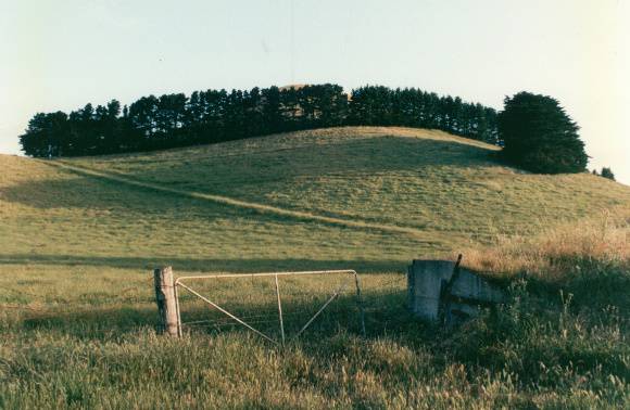
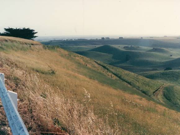
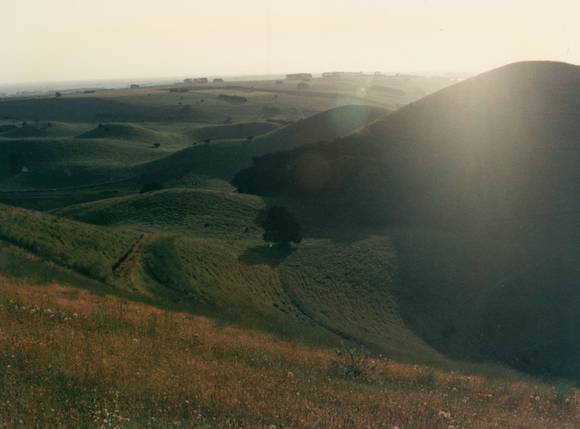
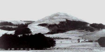
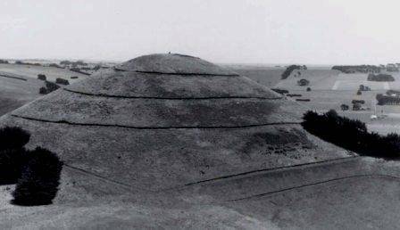
Mount Leura is the highest hill in a complex volcanic feature comprising several distinct cones and craters within the outer wall of a maar, or broad explosion crater. The whole feature is hereafter referred to as the Mount Leura complex
How is it significant?
The Mount Leura complex is of National Significance as a geological feature, and of State Significance for its landscape value.
Why is it significant?
The Mount Leura complex is significant as a geological site. It comprises an outstanding example of a group of scoria cones within a broad volcanic crater, or maar. Because it is a relatively young landform the features visible within it are very fresh and unaltered by erosion, so they show clearly the processes by which they were formed.
The value of the geological feature is enhanced by the fact that much of it lies within a public reserve provided with a network of footpaths, so that the site can be readily accessed by student groups and the community.
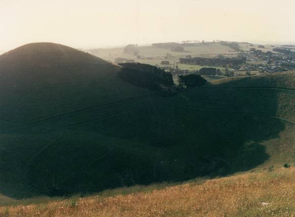
The value of the Mount Leura complex for educational purposes and for general tourist interest is enhanced by the provision of easy access by road to the top, from which there are outstanding views across the surrounding area. This enables Mount Leura to be seen in context as one of the most prominent of a series of cones, representing the end stage of a phase of volcanic activity which began with the formation of the basalt plain on which they are superimposed.
Additional biological significance will develop in future as the recent replanting work by the local Friends Group restores a vegetation cover similar to that present prior to European settlement This in turn will provide a habitat for natural recolonisation or re-introduction of an appropriate range of fauna.
The Mount Leura complex has landscape significance for the striking appearance of steep sided cones rising out of the flat surrounding plain, and the intricate pattern of smaller cones and craters within the outer maar rim. The Schedule to the Corangamite Shire's Significant Landscape Overlay SLO1 states that it is part of one of the State's most significant volcanic landscapes and features. These areas provide visual interest with variation in topography and vegetation and should be protected from inappropriate development.
The proximity of Mount Leura to the historic town of Camperdown makes it a local icon, and the complete view of the historic township available from the summit shows how early towns were designed around road and rail links.
Group
Landscape - Cultural
Category
Other - Landscape - Cultural


