| Back to search results » | Back to search page » |
|
GRIFFITHS ISLAND
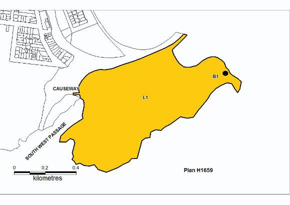
Other NamesGRIFFITH ISLAND LIGHTHOUSE , GRIFFITHS ISLAND , GRIFFITHS ISLAND, RABBIT ISLAND, GOAT ISLAND , WHALING STATION LocationGRIFFITHS ISLAND PORT FAIRY, MOYNE SHIRE
File Number602953 - [ MISSING FILE SINCE 03.05.1999 ]LevelRegistered |
|


Statement of Significance
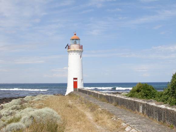
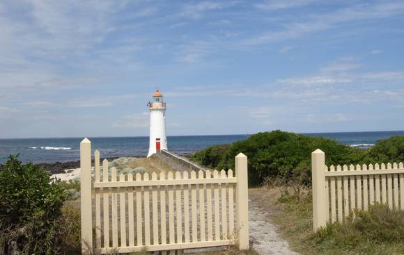
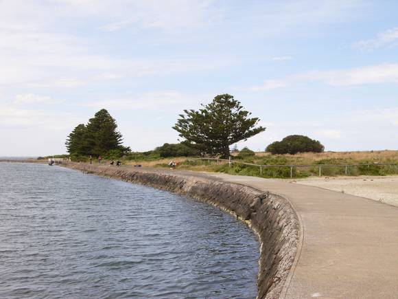
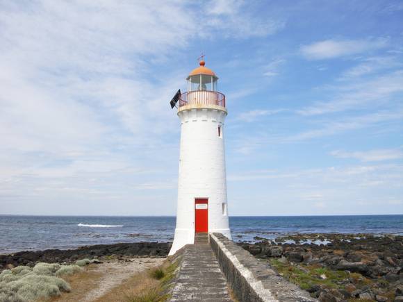
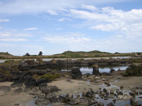
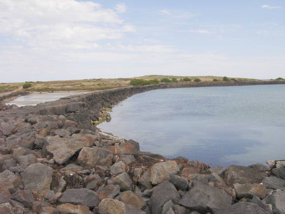
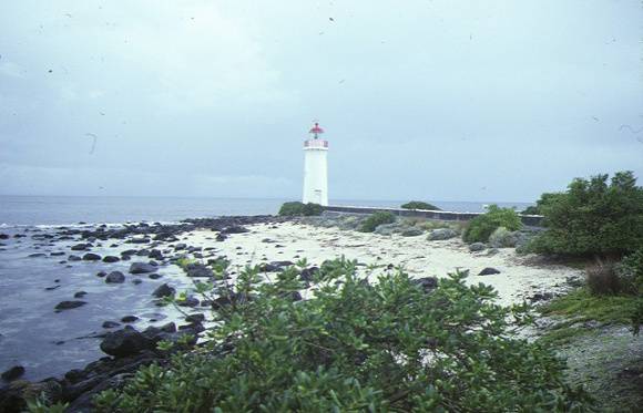
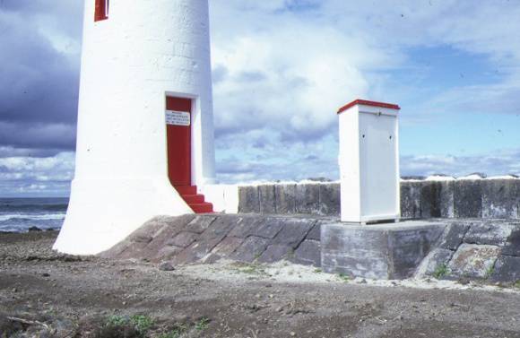
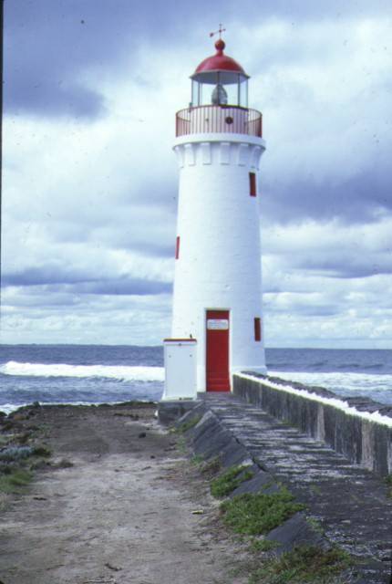
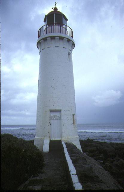
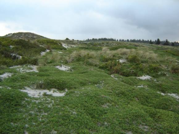
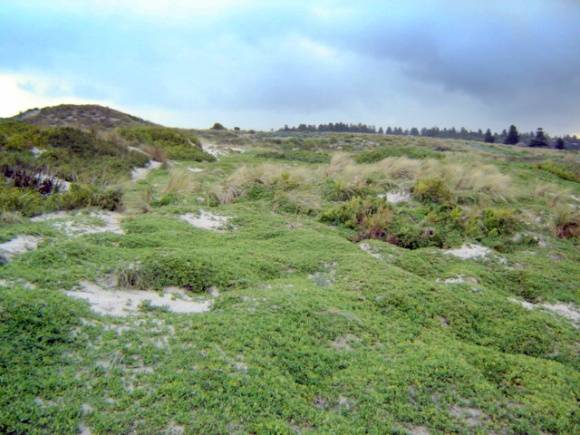
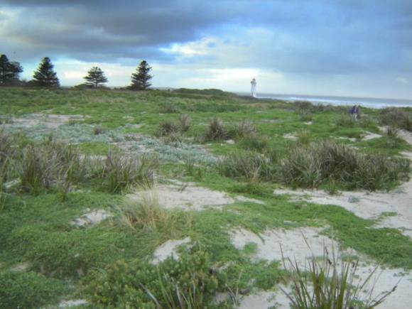
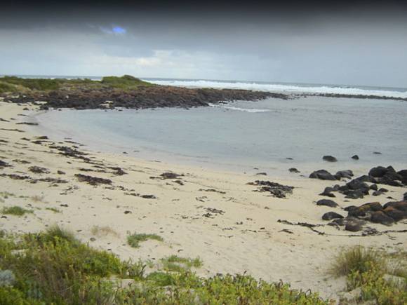
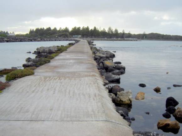
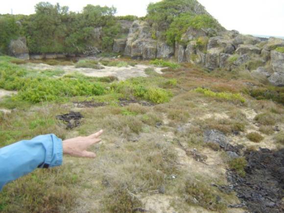
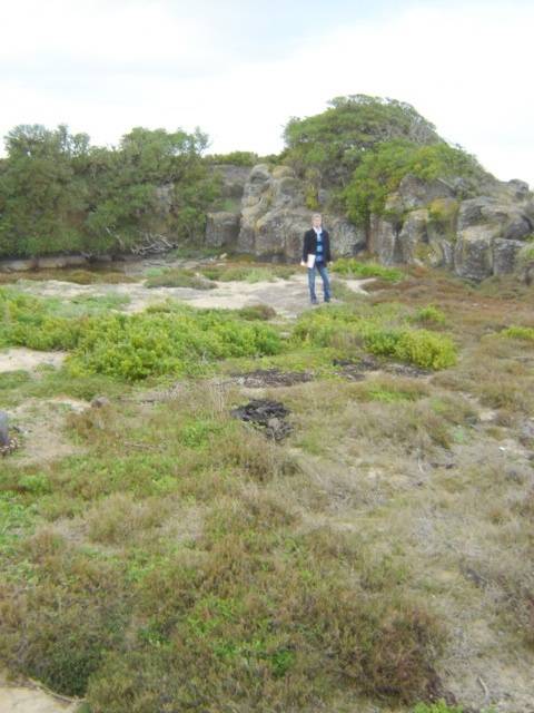
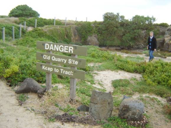
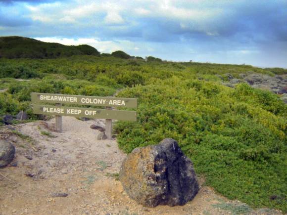
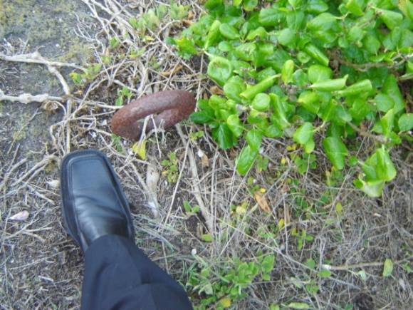
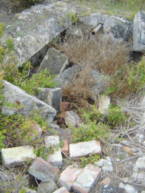
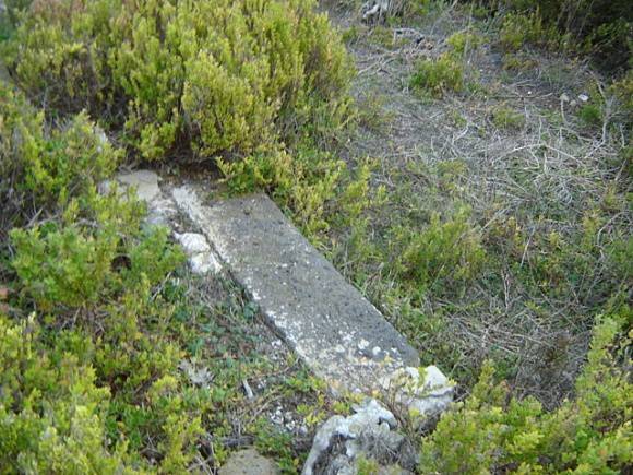
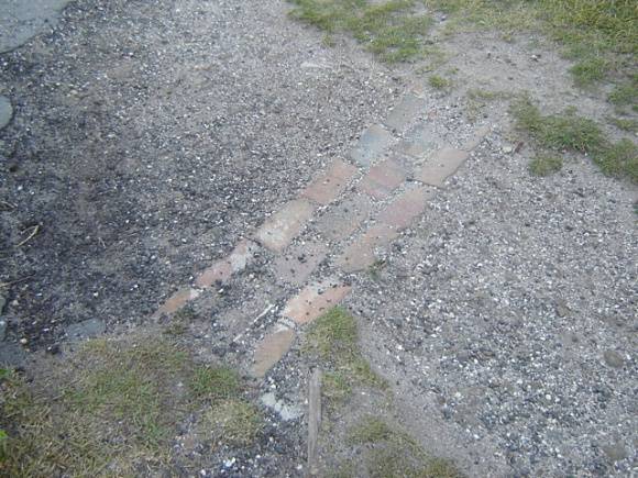
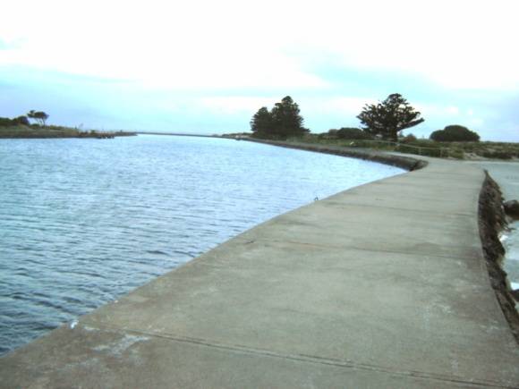
What is Significant? Griffiths Island, Port Fairy, is an unusual geological landform, consisting of an isolated basalt outcrop, overlain with calcareous sand, and partly bounded by possible collapsed lava tunnels. It lies to the south east of the town of Port Fairy, at the mouth of the Moyne River, and at the extremity of the Mount Rouse lava flow. At the time of European settlement, the island consisted of three separate islands (Griffiths, Rabbit and Goat Island), but these have now been joined into one as a result of altered environmental conditions, effected to improve the quality of the bay anchorage and navigability of the Moyne River. The first European use of the island was as a base for a bay whaling station in the mid 1830s. Historic plans identify a whaling station, owned initially by "Messrs Connolly & Co" and later by "Mr John Griffiths" located at the eastern tip of Rabbit Island. Old whaling buildings and a "Trywork Hill' are also shown on Griffiths Island on 1850s charts. The whaling operations ceased by about 1843, as the industry fell into terminal decline. The whalers' wooden buildings were re-used by Flora Rachel Wallace Dunlop as a house, farm, schoolroom and dormitory for the benefit of young Aborigines. Dunlop occupied the island until 1854, and it is likely that the whaling buildings were dismantled sometime following her departure. Ship building also took place on Griffiths Island in the 1840s. The sea-going vessel The Brothers is recorded as being constructed on the island in 1847. The Port Fairy lighthouse was erected on a one acre site on Rabbit Island in 1859 to mark the entrance to the Moyne River and Port Fairy Harbour, at a time when the town was a thriving trading port for western Victoria. The Public Works Department designed a circular basalt lighthouse with machicolated capital and domed metal lantern, and the local firm of McKenzie and McGowan were responsible for its construction. Erected unusually at sea level, the lighthouse stands almost eleven metres above high water level and contains a notable spiral stone staircase, with each step inserted in a course of stonework in the outside wall. Numerous harbour improvement works since the 1860s have contributed to the changing form of Griffiths Island. The northernmost extent of the island is formed by training walls, constructed from the 1860s and extended until the 1920s with advice from notable marine engineer Sir John Coode to enable the Moyne River to be self-scouring. Quarries to supply stone for the works are still evident on the island. The island has a large mutton bird colony. How is it significant? Why is it significant? The lighthouse, one of four harbour lights constructed by the Public Works Department in 1859, is of historical significance as the only one to remain in its original location. The lighthouse is also significant for its unusual location at sea level. Griffiths Island is of archaeological significance for its potential to reveal evidence of whaling buildings and processes, and to contain artefacts and other deposits relating to the earliest period of European economic activity in Victoria. It is of archaeological significance for the potential to reveal more evidence of the keepers' quarters and gardens. The archaeological potential is particularly high because of the accumulation of sand, fill and vegetation which has accumulated since the 1860s.
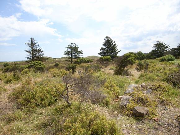
Lighthouse keepers' quarters were also built at this time, the senior keeper's house being of standard Public Works Department design, slightly modified for the site. A flagstaff, for signalling tide heights, was erected on a high point to the west, and a small basalt jetty was constructed to service the lighthouse with fuel and supplies. The lighthouse keepers' quarters and compound were demolished after the Harbour Master was relocated to near Battery Hill in 1956, and the lighthouse now operates remotely. The foundations of the lighthouse keepers' quarters are still discernible, and a group of Norfolk Island pines marks the compound perimeter.
Griffiths Island is of historical and archaeological significance to the State of Victoria.
Griffiths Island is of historical significance as the location of an important bay whaling station in the 1830s and 1840s. It is also significant for its contribution to the development of the port of Port Fairy, one of the most significant of the early ports in western Victoria. It is evidence of Victoria's early maritime heritage and of the importance of regional ports in the process of colonial expansion. The training walls and other harbour works were one of Victoria's major maritime infrastructure works programs.
Group
Transport - Water
Category
Lighthouse