| Back to search results » | Back to search page » |
|
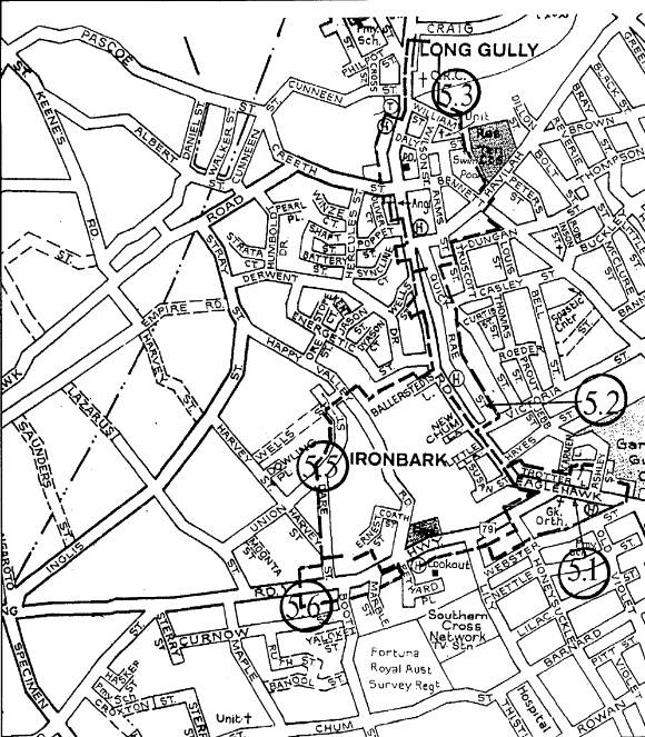
Long Gully Precinct
Other NameFormer Precinct 5.02 and Former Precinct 5.03 Long Gully Commercial, Residential and Civic LocationEAGLEHAWK ROAD, IRONBARK AND EAGLEHAWK ROAD, LONG GULLY, GREATER BENDIGO CITY LevelIncluded in Heritage Overlay |
|


Statement of Significance
What is significant?
How is it significant?
Why is it significant?
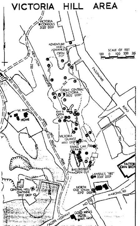
Calder Highway/Happy Valley Road area:
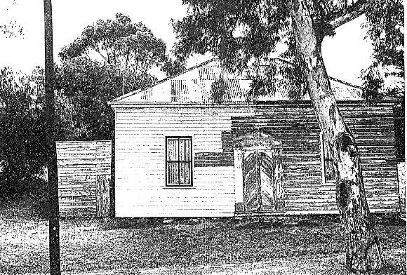
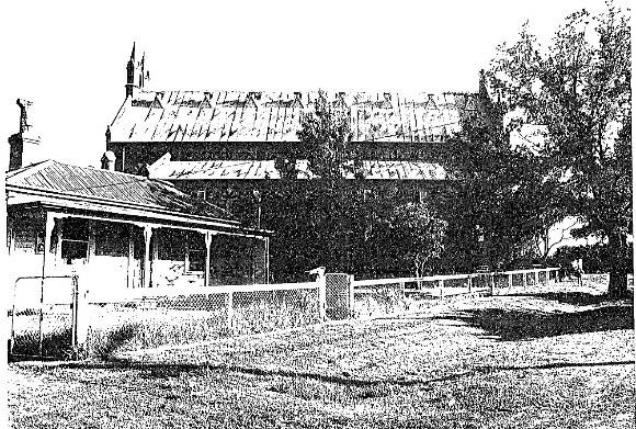
Enhanced by the sloping terrain, these sites represent well the period of prosperity under gold mining in this area as well as the social institutions which prevailed such as the Hopetoun Brass Band practice hall and the British and American Hotel.
Long Gully/Commercial, Residential & Civic area:
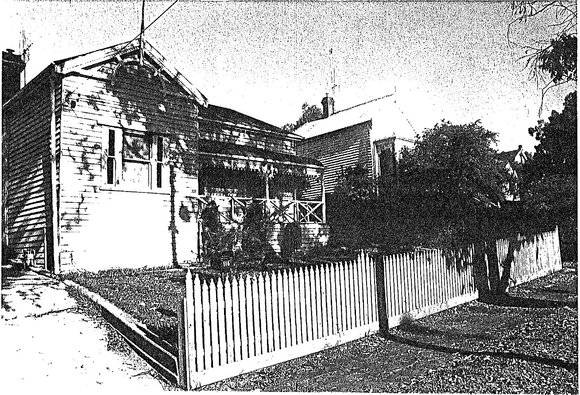
Each of the former hamlets can be recognized as derivative from the still visible gold workings adjoining, with essential components to any self-contained community such as churches for the denominations, a school, the hotels and former shops and one foundry which all combine to provide the sense of gold town life and provide in some cases individually significant architectural works.
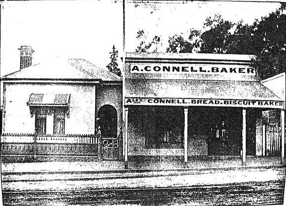
Long Gully is one of the best known mining precincts in Bendigo and with substantial elements remaining from the settlements which grew up around mining, including many individually important public and private sites. The site of the Ironbark Chinese village is an important place as are the several hotels and other community structures. The clustering of these buildings in small precincts near to major mining areas was characteristic of the Bendigo field from the 1870s onwards.
Group
Residential buildings (private)
Category
Residential Precinct