| Back to search results » | Back to search page » |
|
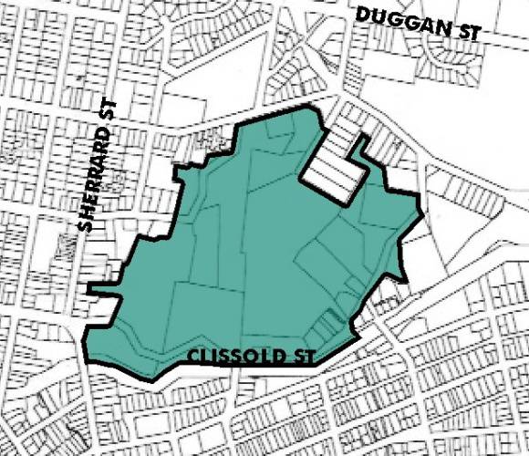
Black Hill Heritage Precinct
LocationLevelIncluded in Heritage Overlay |
|


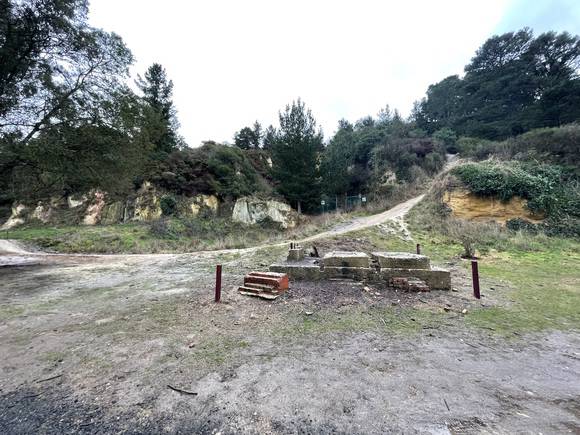

Statement of Significance
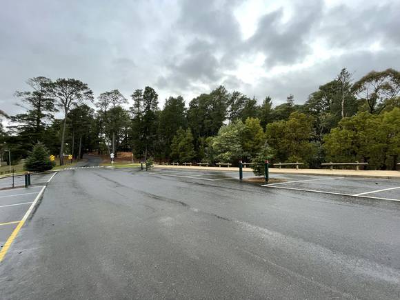
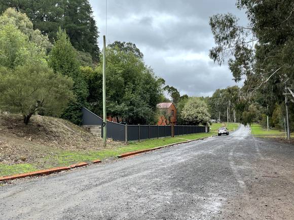
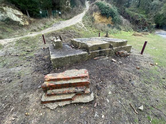
The Black Hill Precinct is historically and scientifically significant at a LOCAL level (AHC criterion A, C.2 and H.1). (a) the place's importance in the course, or pattern, of Australia's natural or cultural history; The Precinct is particularly significant as a cultural landscape that possesses mining sites which reflect the whole period of gold mining activity that characterized the Ballarat goldfields, including three different mining operations, alluvial mining between 1851-52, followed by deep alluvial lead mining from 1853-75 and the development of quartz reef mining from 1854-1918. In this regard the Precinct is significant as one of the few sites left in Ballarat with such visible evidence of gold mining operations, and one which has been largely untouched by later residential infill development. The Precinct is associated with the auriferous quartz ranges that spawned a number of important gold leads in Ballarat's mining history which played a pivotal role since 1851 in the economic and social development of Ballarat, as well as the rest of Victoria. The hill itself is of significance as it provides key examples of early open-cut quartz gold mining, ranging from an immense cutting, a deep gorge created by the open cut mining that was blasted out of the sides of the hill, to remnant tunnels and shafts, and foundations. The Precinct is also important for its association with various gold mining companies, particularly the Black Hill Quartz Mining Company, which later became the Black Hill Mining Company and was integrated into the Victoria United Mining Company that operated on Black Hill between c.1854 and c.1915. The Precinct is of archaeological importance for its potential to yield artefacts and technology evidence associated with quartz mining, and later for its association with a Brickworks industry that operated on or near the site of the former Black Hill Quartz Mining Company crushing battery. The Black Hill Precinct is aesthetically and socially significant at a LOCAL level (AHC criteria D.2, E.1 G.1). (d) its importance in demonstrating the principal characteristics of: (i) a class of Australia's Cultural places; or (ii) a class of Australia's cultural environments (including way of life, custom, process, land-use, function, design or technique); The Black Hill Precinct is a place of strong aesthetic value and is a significant foci of the Ballarat area. The attributes include the undeveloped park-like character of the hill itself, in such close proximity to the centre of Ballarat, the very visible south face of the hill with its dramatic appearance brought about by years of open-cut mining, and dark patches of Pinus radiata, re-afforestation. The man-made cultural landscape visually defines the limits of 19th century urban growth of Ballarat in this area. The Black Hill Reserve also provides a unique vantage point, a popular lookout spot providing panoramic across the city of Ballarat and the surrounding districts to Mount Warrenheip and distant countryside views. The Precinct is highly valued for recreational purposes by the local community. The area was reserved as early as 1907 as a public recreation area by the East Ballarat Council who wanted to ensure the land remained free from urban development. Various community groups in particular the Black Hill Progress Association. Black Hill, a community based voluntary association, with the aim of 'beautification of the locality' began re-afforestation of parts of Black Hill, using predominantly Pinus radiata, not long afterwards. In 1917 in collaboration with local schools, they planted over 1000 pines in avenues and in 1940 a tourist road was constructed to the Black Hill lookout.
(a3) importance in exhibiting unusual richness or diversity of built landscapes and cultural features
(a4) & (h1) importance for association with events, developments, cultural phases and individuals which have had a significant role in the human occupation and evolution of the region.
(c) its potential to yield information that will contribute to an understanding of Australia's natural or cultural history;
(e) its importance in exhibiting particular aesthetic characteristics valued by a community or cultural group.
(g) the place's strong or special association with a particular community or cultural group for social, cultural or spiritual reasons.
Group
Unknown Item Group
Category
Unknown Item Type