| Back to search results » | Back to search page » |
|
Grampians National Park, HALLS GAP
LocationGrampians National Park HALLS GAP, NORTHERN GRAMPIANS SHIRE LevelRecommended for Heritage Overlay |
|
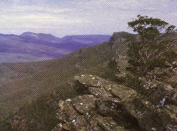


Statement of Significance
The Grampians are the dominant landscape feature in the Shire. They can be viewed from many places in the municipality and as such a significant feature have been adopted as the logo for the Northern Grampians Shire. The Grampians have been an important part of aboriginal culture prior to settlement by Europeans and were one of the first features identified and visited in the vicinity. The Grampians are significant for their natural features including their geology, flora and fauna. The Grampians contain a range of significant sites relating to water supply, timber getting, charcoal burning, gold mining, wattle bark stripping, bee keeping and early and continuing tourist attractions. The Grampians are a significant tourist and recreational destination. The following places of State significance are within the Park: Heatherlie Quarry and associated structures and Zumsteins. The Grampians are of aesthetic significance at the STATE level as a prominent and definitive feature of the Northern Grampians Shire and can be viewed from many places within the Shire and is thus valued by the local community and the state as a whole. The numerous natural and cultural features, abundant flora and fauna contribute to the significance of the place and include: Heatherlie Quarry (HVR 1556), Zumstein's cottages and remnant garden layout (HVR No H1049). Wonderland and Reid's Lookout Rotundas, Former railway line from Stawell to Mount Difficult Quarry, Burma Track Survival Hut, Site of Childe's Sawmill and "Glenbower" homestead, Borough Huts Charcoal Kilns, Borough Huts Site at Borough Huts Camp Ground, Major Mitchell Memorial Cairn on Mount Zero, Mount Zero Quarry and Tramway, Mount Difficult Camp Site, Mount Victory Road , Mackenzie Fall, Reid's Lookout and "The Balconies", Grand Canyon, Major Mitchell and Mount William Road Memorial cairn, Smith Sawmill Site, Silverband Road, Stony Creek Diggings, Silverband Falls, Cranage's Cottage, Horsham Angling Club, Lake Wartook, Old Adelaide Road and Monument, Stony Creek sawmill and Tramway, The Basin Sawmill Site, the Angophora costata at Zumsteins and Sanderson's Gap Track. The Grampians are of historical significance at a LOCAL level. The area has a large number of sites relating to the early exploration or the area, early industries such as timber getting, gold mining, charcoal burning, early tourism and bee keeping. The area is also significant as the catchment and start of the Wimmera Mallee Water Supply. Moora Moora Reservoir, Lake Wartook and Lake Bellfield. These major water storages are also of significance as part of the Wimmera Mallee Water supply System. The Grampians are of social significance at a LOCAL and STATE level. They are recognised and valued by the Victorian community as a well-known place of recreation and area of high aboriginal significance. Overall The Grampians are of STATE significance.
Group
Landscape - Cultural
Category
Historic Landscape